CLIENT OBJECTIVEs
- Establish credible baseline flood maps specific to local landscapes in order to understand potential distribution of flood waters and associated damages and costs to community of future extreme run-off events (EREs).
- Use risk based cost-benefit methods to assess viability of proposed infrastructure adaptation options.
PROJECT OBJECTIVES
- Develop credible baseline floodmaps using WDPM stormwater distribution models for various EREs.
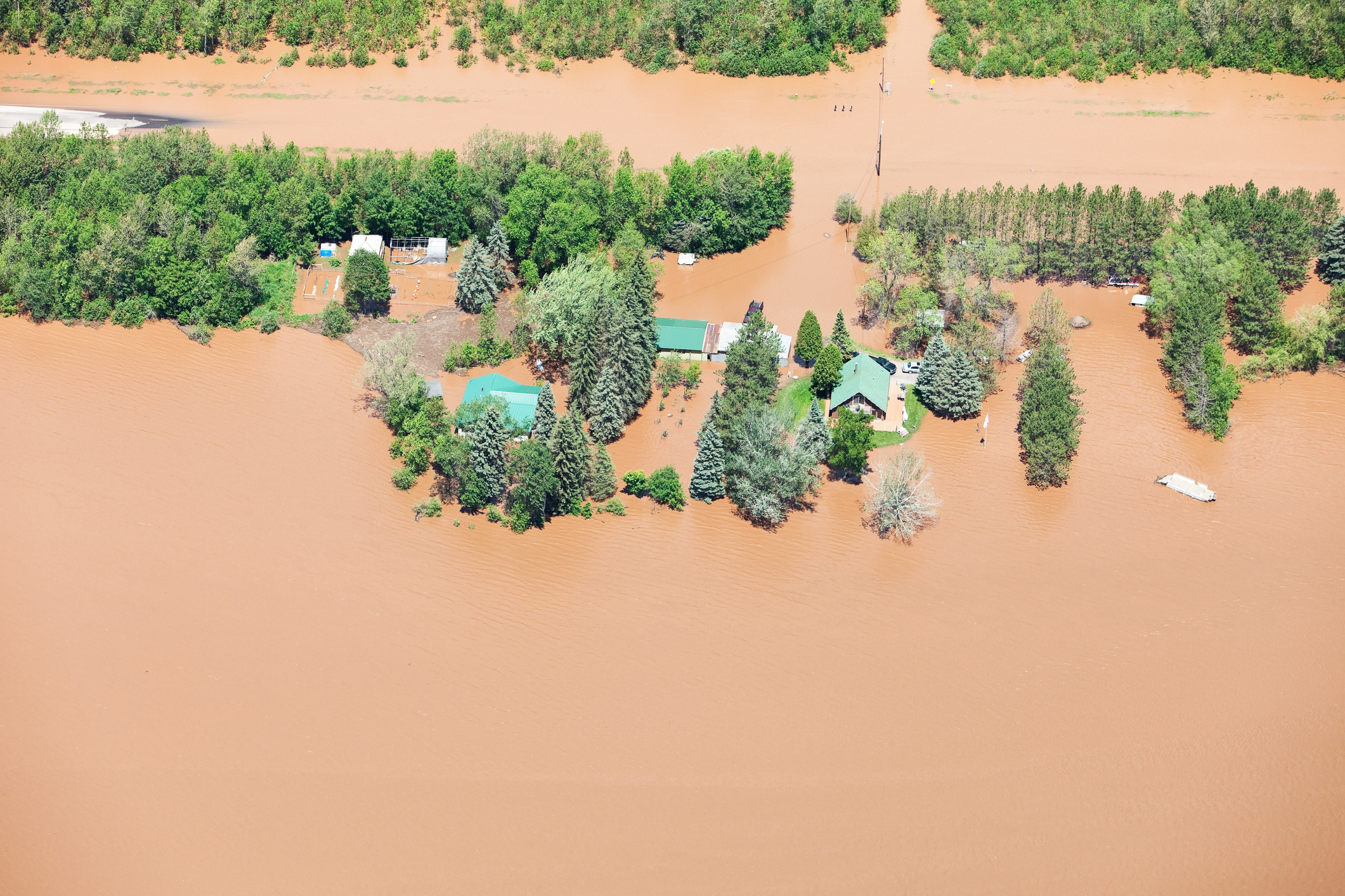
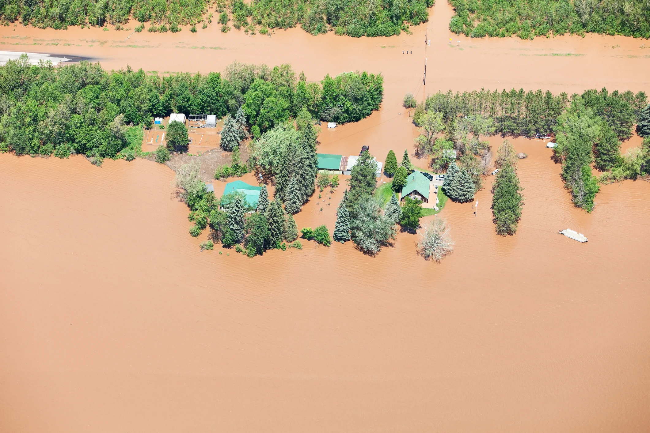
- Compare and verify flood maps against aerial photographs and local knowledge and experience.
- Determine likely effectiveness of man-made drainage channel for preventing flooding and related flood damage costs using cost-benefit framework.
STEPS
- Begin with LiDAR DEM for considered landscape.
- Use WDPM to produce flood maps based on a range of EREs (1/15 year, 1/25 year, 1/50 year).
- Collect GIS based receptor location data (location of oil facilities and oil wells, crops, residences, roads) from client.
- Overlay GIS receptor locations onto flood maps to determine scale of potential damage and damage costs to community associated with each individual ERE.
- Generate probabilistic ERE forecasts over a 25 year planning period.
- For each forecast, estimate total damage costs to the community over the 25 year period.
- Use results to estimate the average expected damage cost to the community and corresponding range of likely damage costs.
- Redo the above process with adaptation option considered (affects spatial distribution of water).
- Estimate life cycle costs (LCCs) for the considered infrastructure adaptation (man-made drainage channel).
- Compare benefits (damage cost savings) of man-made drainage channel against corresponding LCCs to determine viability of the option.
METHODS
- Land and Infrastructure Resiliency Assessment (LIRA)
- Cost-benefit Analysis (CBA)
- Life Cycle Costing (LCC)
- Wetlands DEM Ponding Model (WDPM)
- GIS Mapping
SERVICES PROVIDED
- Produce flood water distribution maps & receptor maps and overlay them for various EREs (GIS Based maps)
- Flood modeling under various magnitudes of EREs
- Calculate potential damage costs
- CBA for adaptation option
- Presentation to RM Council and staff to confirm reasonability of maps with past experience
- Written reports
RESULTS
- Credible baseline flood maps.
- LCC estimate of man made drainage channel adaptation option.
- Risk based CBA of considered man-made drainage channel.
MORE PROJECTS